Tuesday, September 30, 2014

September 29, 2014


Rain
This was the second time we have had rain during our trip. Unlike the first time when it was over by noon, this was an all day affair.  We took advantage of this by getting ready for the remainder of the trip. Repacking was a must after 13 days on the road. Items purchased and clean laundry all needed a place in the car.
Full!
There were several places in town that we wanted to visit, so part of the day was spent in a book/craft store and several other gift shops.
A last trip to Clyde’s was in order for one more cheeseburger and fries…so good! If we had a Clyde’s at home, Burger in the Square and Five Guys would not get very much of our money!

Clyde's
We were lucky to catch another freighter entering the narrow channel of the St.Marys River and making the right hand turn for the trip down stream to Lake Huron.
The Algoma Discovery
Tomorrow we will bid good bye to Sault Ste. Marie. Our journey will take us through De Tour Village, MI where we will get our first look at Lake Huron.

Monday, September 29, 2014

September 28, 2014


Clyde’s
After twelve days on the road it was time to do a little laundry and repack. We were lucky to hear of a very nice laundry mat having their grand opening, and only a block away from our motel.

Up North Laundry
Before we left home, we checked Trip Advisor for the best restaurants in Sault Ste. Marie. One of the top three was a place called Clyde’s. After looking at the photo of the building, reviews were in order. What turned up was a little unusual. No one trashed the place, and the reviews were all excellent or good, except six. Those six were all average.  
Clyde's
Clyde’s is a throwback to the 1950s with most of their food ordered to go or served to your car by a “car hop”. Yes, a car hop. When was the last time you were served by a car hop? The good thing is they also have 12, count them, 12 inside seats at their bar. That is two more than the Texas Tavern! And, inside is where you want to be.  With about 6 employees, the place runs like a machine; the volume of food going out the door is staggering. Every move appears to have been rehearsed a thousand times.
We like burgers and have tried quite a few in the past, but Clyde’s serves up one of the best we have ever had.

After lunch we took a tour of the Soo Locks. We have done this on previous trips to Sault Ste. Marie but this tour was a bit different… the tour boat “locked up” through the Canadian Lock. This lock is small and cannot handle any of the freighters that travel the lakes. It is reserved for small private vessels and tour boats. By taking this route, we traveled counter-clockwise around the rapids and locks. Reversing direction offered an opportunity to see things missed on the clockwise trip.

St Marys River Rapids
With a population of 75,000, Sault Ste. Marie, Ontario is much larger than its sister city. Shining in the afternoon sunlight is its civic center.
 
Civic Center
The Essar Steel Algoma, Inc. steel mill, located on the Canadian side of the river, produces rolled steel for the car and appliance industry, and can produce 4 million tons a year.  One of the raw products used in the production of steel at Algoma includes coal from West Virginia.

Essar Steel Algoma
This is how the 1004 feet long, 105 feet wide freighter, Edgar B. Speer, looks as it rises 21 feet out of the Poe Lock to enter Lake Superior.

Edgar B. Speer
One of the tour boats on the St Marys River.

Sunday, September 28, 2014

September 27, 2014


Tower of History

It was cool this morning, but the temperatures climbed into the low 80’s by afternoon. This approached the record high for the UP, and very is unusual for late September.
There was a lot of action in Sault Ste. Marie this morning. Their annual Oktoberfest began with a marathon in the wee morning hours.

The Soo was handling two ships already in the locks. Waiting their turn was a 1000 foot freighter and 2 tour boats. Passage through the locks is free for all ships. We have witnessed something as small a kayak going through the locks alongside a tour boat.    

Two Ships in Locks
 
One Leaving Lock and One Waiting to Enter
We joined in the fun of the main street festival which featured crafts, food, wine and music.  
No trip to Sault Ste Marie is complete without a trip to the top of the Tower of History. The tower is 210 feet tall with open air decks and glass enclosed observation areas. The St. Marys River unfolds below you with ships navigating the river.
Tower of History
 
View From the Tower
Sault Ste Marie, Ontario in Background
This was banking day, and snack and water replacement day. Walmart is our bank away from home.

The Walmart here is a ve-r-r-y busy Walmart. On Saturdays the lot is full of cars from Ontario.  The Canadian residents cross the International Bridge for food which is cheaper, and things that they cannot get in Canada. Gasoline is much cheaper, and so is having lunch or dinner on the U.S. side. Many Canadians use the savings to visit the casinos!

We did make a late afternoon visit to the Locks to watch a 750 foot ship “upbound” into Lake Superior. Mother Nature added the sunset.

International Bridge to Ontario


Note Lights on Ship, Center Left Side
 
Our sign of the day.


September 26, 2014


Tahquamenon Falls

Our morning started off backtracking to Tahquamenon Falls. We were running late yesterday afternoon and decided to go back this morning so we would have more time to enjoy the falls. They are beautiful any time of year, but the fall colors add another dimension.  The tannin (root beer color) in the water adds another touch to Mother Nature’s art work.
Tahquamenon Falls
From the parking lot, it is about 1/2 mile to the falls; however, the roar can be heard long before you arrive. The trail winds through a hemlock forest that dates back over 250 years. As you approach the first overlook the roar of the water has intensified. A water flow of over 52,000 gallons per second has been recorded.

 
The falls are even more dramatic after you travel down the 94 steps to the viewing platform located at the edge of the falls.

 
Upon leaving the area, we traveled on the White Fish Point Scenic Highway along Lake Superior.

White Fish Point Scenic Highway
The water in Lake Superior is one or two feet higher this year due to the high snows and thick ice on the lakes during the winter. The ice prevents evaporation and results in higher water levels.
An area along the Scenic Highway is noted for its shallow water and rocks that can be seen above the water. Now, due to the increased water level, only three rocks are visible.

The Shallows
Our next stop was at Point Iroquois Lighthouse. This was the first Michigan lighthouse we visited on our trip through the area in 2008. It is very visitor friendly and manned by very knowledgeable volunteers.

Point Iroquois
Next we headed to Bay Mills, MI to try our hand at the slot machines. In previous years we have managed to help “keep the lights on and pay the employees”. Today turned out to be a little different…we departed with nearly our entire bankroll!  We also smelled as though we needed a shower…the casino has more than its share of smokers. Nasty!

Park Across From Motel
Our home for the next four nights in Sault Ste. Marie is a “mom and pop” motel in the middle of the of the business district. We have always stayed on the outskirts in a chain hotel; but, this offers an opportunity to be near the Soo Locks, and watch the ships which require passage to and from Lake Superior and Lake Huron.

Thursday, September 25, 2014

September 25, 2014

The Refuge

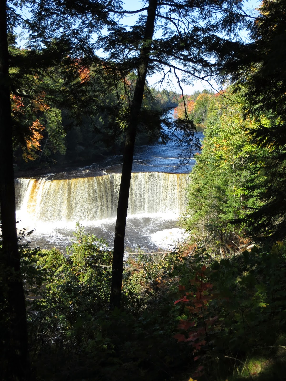
After three days in the Pictured Rocks National Lakeshore Park we left Wetmore this morning and headed for Paradise, MI.

Alger Falls, Munising, MI
About 30 miles east of Wetmore in Seney, MI is the Seney National Wildlife Refuge, our first stop of the day.  The refuge has of 94,455 acres of marsh, swamp, bog, grasslands and forest, with nearly two-thirds as wetlands. It was established in 1935 for the protection and production of migratory birds and other wildlife. It now aids in the protection for threatened and endangered species, as well as other wildlife.


The refuge was constructed under the Civilian Conservation Corps (CCC) work program. Out of work men were paid $1 per day to complete projects all across the US during the Great Depression. The Refuge put many of these men to work. They constructed various buildings, structures, and the infrastructure of the refuge.

A diversity of wildlife species utilizes the refuge. There are over 200 bird species, 26 fish species, and 50 mammals recorded.


The area has several walking and bike trails.  Berry picking, canoeing, along with fishing and hunting, are also allowed. You can also tour by car (our choice) along a seven mile one lane road that winds through the refuge.


The visitor’s center offers several exhibits of the wildlife found in the refuge and a large selection of nature books and souvenir items. A fifteen minute video showing the development and management of the refuge is also available.


After diner, we drove out to White Fish Point to collect a few rocks from the shoreline, and hopefully, get to see a beautiful sunset.


Mother Nature has a way of changing the best laid plans. Much to our surprise a very large storm in November 2013 cut off about 150 feet of the sandy shoreline. This left the boardwalk steps hanging about 4 feet above the ground. Repairs are being made, but the beach area is gone.

In the two photos, although taken from two different angles, you can compare the old dock pilings in relation to the shore line.

September 20, 2010

September 25, 2014
As for the sunset, we had to get a few quick shots and then try to outrun the mosquito squadron as we sprinted to the car. In four trips to the UP, we have never encountered such hungry creatures!! 

Our sign of the day.

Old Man Winter is ready to bring on the snow!


Wednesday, September 24, 2014

September 24, 2014

Au Sable

During our last two trips to Michigan we have been within 30 miles of today’s destination. Walking distance, weather and the lack of time were deterrents.
  
Foliage along M-58 near Munising
Today we headed for The Pictured Rocks National Lakeshore and Au Sable Lighthouse. Au Sable is located between Munising and Grand Marais, MI.

Shipwreck  near Au Sable
(Enlarge for Better View) 
The 1.5 mile walk to the lighthouse starts in Hurricane River Campground and runs along the shore of Lake Superior. Several shipwrecks are visible along the shore which is covered in multicolored rocks of all sizes. The trail is an old supply road that winds through the forest to the lighthouse.

Multicolored Rocks Along Shore
The lighthouse, built in 1894, is unique in that all the original buildings are still standing, and in excellent condition. This is due in part to the 30 year long effort by the National Park Service to rehabilitate the structures. The rehabilitation was completed in 2010.

Front View Of Au Stable

Rear View of Au Sable
All of the buildings and the tower are of brick construction.  From the top of the tower, which is 87 feet tall, the Grand Marais sand dunes are visible.

Grand Marais Sand Dunes
(Taken From Top of Tower)
All of the buildings are open for touring except the boathouse which is used for storage.

September 23, 2014

Pictured Rocks National Lakeshore

Our first stop today was at the Ranger Station to get information on the places we wanted to visit in the Pictured Rocks National Lakeshore which lies on the northern shore of Michigan’s Upper Peninsula. Both of our destinations today were within a 10 mile drive.

Boardwalk Through Marsh
Something we have learned about touring this area is to only plan one or two things to do each day. There are so many beautiful places you happen upon that the day flies by. You just have to stop and enjoy the moment.

Pond in Marsh
Our first stop today was at the Sand Point Marsh Trail. The trail is a slightly elevated boardwalk which winds through a 25 acre marsh land.

Creek Through Marsh
It is the home of birds, reptiles, fish, small animals and hundreds of different plant life species.

Pond in Marsh
The parking area offers wonderful views of Munising Bay.

Munising Bay with Sandy Point Lighthouse in Background
After lunch we traveled to Miners Castle Park. Miners Castle is a large rock formation with a turret which juts into Lake Superior
.
Miners Castle

From the water it resembles a castle and can be seen for several miles. We saw the Castle during a boat cruise in 2009, but an up close look lets you appreciate its size.

The Lone Turret of Miners Castle
Until 2006 there were two turrets; sadly, one collapsed into the lake. The collapse was reported by fishermen who witnessed it from their boats. With the passage of time, and the onslaughts of Mother Nature, the rock formation is constantly changing.

Pictured Rocks
Furthermore, some visitors believe the rule of not trespassing on posted land is not meant for them; another reason the formations and vegetation deteriorate.

Tuesday, September 23, 2014

September 22, 2014

Legs Inn
We had a light breakfast this morning because we were going to one of our favorite places in Michigan for lunch. The place was featured on our 2010 trip (9-30-10), but it is so good that it deserves another spot on our 2014 blog. It is Legs Inn in Cross Village, MI. Polish food is their featured cuisine.

This place is in the middle of nowhere on roads that are in shambles. But people come from far and near and line up in front of the door before they open at noon. By 12:15 only one table remained inside and all the tables on the enclosed, heated patio were taken.


Not only is the food good but the portions are huge. We chose the Reubenski  (corned beef topped with their homemade sauerkraut and melted Swiss), and the Pulaski (turkey breast served open-faced on marble rye topped with mozzarella and homemade slaw). Sooooo Good!!


The best part came last, Old Fashioned Polish Berry Szarlotka...crumble cake baked with fresh apples, raspberries, strawberries, blackberries and blueberries served “a la mode”. The photo says it all!


After lunch we walked through their beautiful gardens and enjoyed the view of Lake Michigan.


On two previous trips, we have been to McGulpin Point Lighthouse; both times the structure was closed. We had to settle for photos of the outside and the shoreline. Our third trip was very rewarding. The lighthouse was open and extensive work had been completed on the grounds and the structure. Period furniture has been donated, painting has been completed and the light has been returned to operation as a navigational assist. Also, the lighthouse is now operated by Emmet County. They have provided one of the best short films noting the many, many shipwrecks with lives lost.


A very large rock rests on the shoreline and serves as a marker to determine the rise and fall of water levels in Lake Michigan. It is about 9 feet tall and weighs about 54 tons.  The water is at a high level this fall. Note the Mackinac Bridge in the background. The bridge is five miles long with a 40 MPH speed limit (slower in windy weather). Fuel tankers crossing the bridge have a reduced speed and receive an escort across the span.


Mother Nature has started to paint the canvas in Northern Michigan.


Our sign of the day. Note the location of the control buttons. Low enough for a duckbill!


Tomorrow we will be in Wetmore MI and visit the wetlands and Miners Castle.